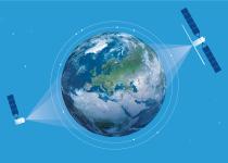
Are we making the most of the massive amounts of data our satellites provide on our atmosphere, marine environment and land? How do we turn what we see into decisive policies?

EU science is more than you imagine

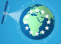

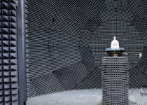
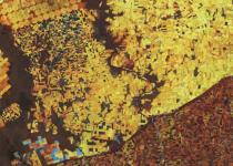

JRC Digital Media Hub helps you easily discover how the European Commission's Joint Research Centre (JRC) scientific research and advice are linked to our daily lives in the European Union.
You can explore our vast collection of animations, infographics, games, videos, virtual tours and other media by any science topic or Commission Priority according to your interests.
We are proud to tell about EU Science and open our doors to you. We invite you to explore and share our engaging digital content.

