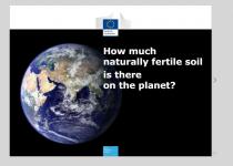
How can we be sure that we have enough crops growing in Europe to feed us all?

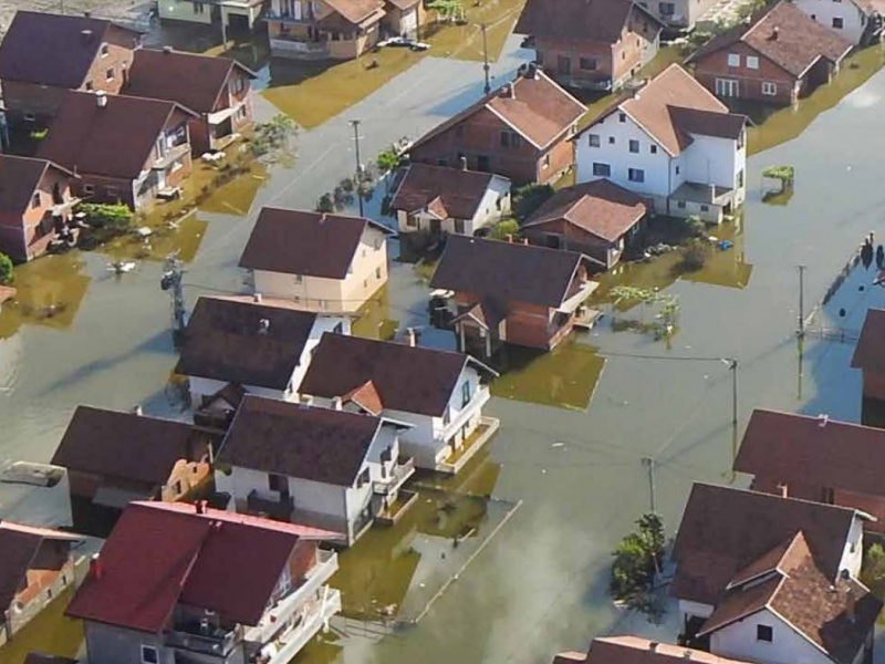
Based on the analysis of this data, emergency responders can get an overall picture of what has happened, where, and the characteristics, extent and severity of the damage.The JRC coordinates the Emergency Management Service of the Copernicus programme, the European Earth Observation programme.
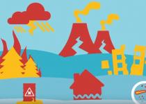
FInd out more on disaster risk management.


JRC Digital Media Hub helps you easily discover how the European Commission's Joint Research Centre (JRC) scientific research and advice are linked to our daily lives in the European Union.
You can explore our vast collection of animations, infographics, games, videos, virtual tours and other media by any science topic or Commission Priority according to your interests.
We are proud to tell about EU Science and open our doors to you. We invite you to explore and share our engaging digital content.