Satellite monitoring of land, forests and agriculture
Satellite imagery helps assess and monitor the state of global land use over time. By comparing past and present images, we can get an overview of the evolution of land pressures.
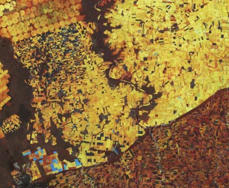
This information can help decision makers target effective interventions and policies to ensure the sustainable management of land resources, which is becoming more and more urgent given the growing world population and the increased pressure on land to provide food, fuel and biodiversity habitat and the need to regulate climate.
Find out more on agricultural monitoring.
Science Area:
Agriculture and Food SecurityThe European Commission’s priorities:
A European Green DealDiscover how the Joint Research Centre supports European Commission priorities with its science


About JRC Digital Media Hub
JRC Digital Media Hub helps you easily discover how the European Commission's Joint Research Centre (JRC) scientific research and advice are linked to our daily lives in the European Union.
You can explore our vast collection of animations, infographics, games, videos, virtual tours and other media by any science topic or Commission Priority according to your interests.
We are proud to tell about EU Science and open our doors to you. We invite you to explore and share our engaging digital content.