What can satellites tell us?
Earth observation is the gathering of information about planet Earth’s physical, chemical and biological systems via remote sensing technologies, usually involving satellites carrying imaging devices. Earth observation is used to monitor and assess the status of, and changes in, the natural and man-made environment.


European Microwave Signature Laboratory
Discover how EU scientists investigate how to prevent harmful electromagnetic interference on your portable devices, Wi-Fi access points and satellite navigation receivers.


Mapping human settlements from space
Contrary to common belief, there is still a lack of information on where and under what conditions many people live, especially in developing countries.
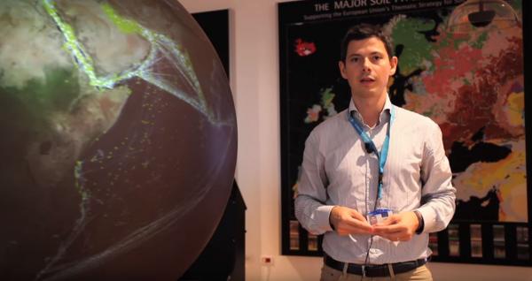
Alan Belward - Global Environment Monitoring
Faces of JRC science

How Galileo helps to locate us
Peek inside the fascinating anechoic chamber of the European Microwave Signature Laboratory.
Michele Vespe - Big data analytics and the Blue Hub
Faces of JRC science


Mapping human settlements from space
Our knowledge of the current extent of human settlements is incomplete. Luckily, we can now count on some help from above.

An eye on the sea
Satellites play a crucial role in understanding what is happening at sea.

Satellite images for disaster management
Satellite data play an essential role in disaster risk management.

Galileo: from the lab to the sky
Experts at the JRC investigate potential threats that may affect Galileo, the European programme for a global satellite navigation system.

Satellite monitoring of land, forests and agriculture
Satellite imagery helps assess and monitor the state of global land use over time. By comparing past and present images, we can get an overview of the evolution of land pressures.